Kevin, Dan , and myself made an attempt on Mt. Sefrit in late August, 2008.
We made it about halfway to the top. There is no trail up this mountain, and route-finding is difficult due to steep forested cliffs, slabs of exposed rock, waterfalls, and dark narrow canyons.
All photos link to large versions

Mt. Sefrit from the Ruth Creek Trail.
Our first challenge was to figure out how to climb the band of cliffs along the base.
We picked this spot to ascend the cliffs. We reached the base after climbing a stream which flowed down a debris flow chute.
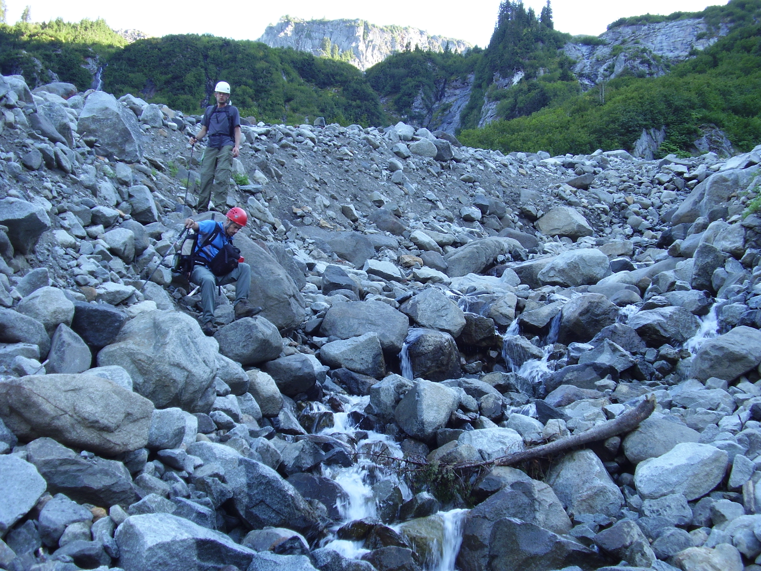
Kevin and Dan, climbing up the bouldery chute towards the canyon.
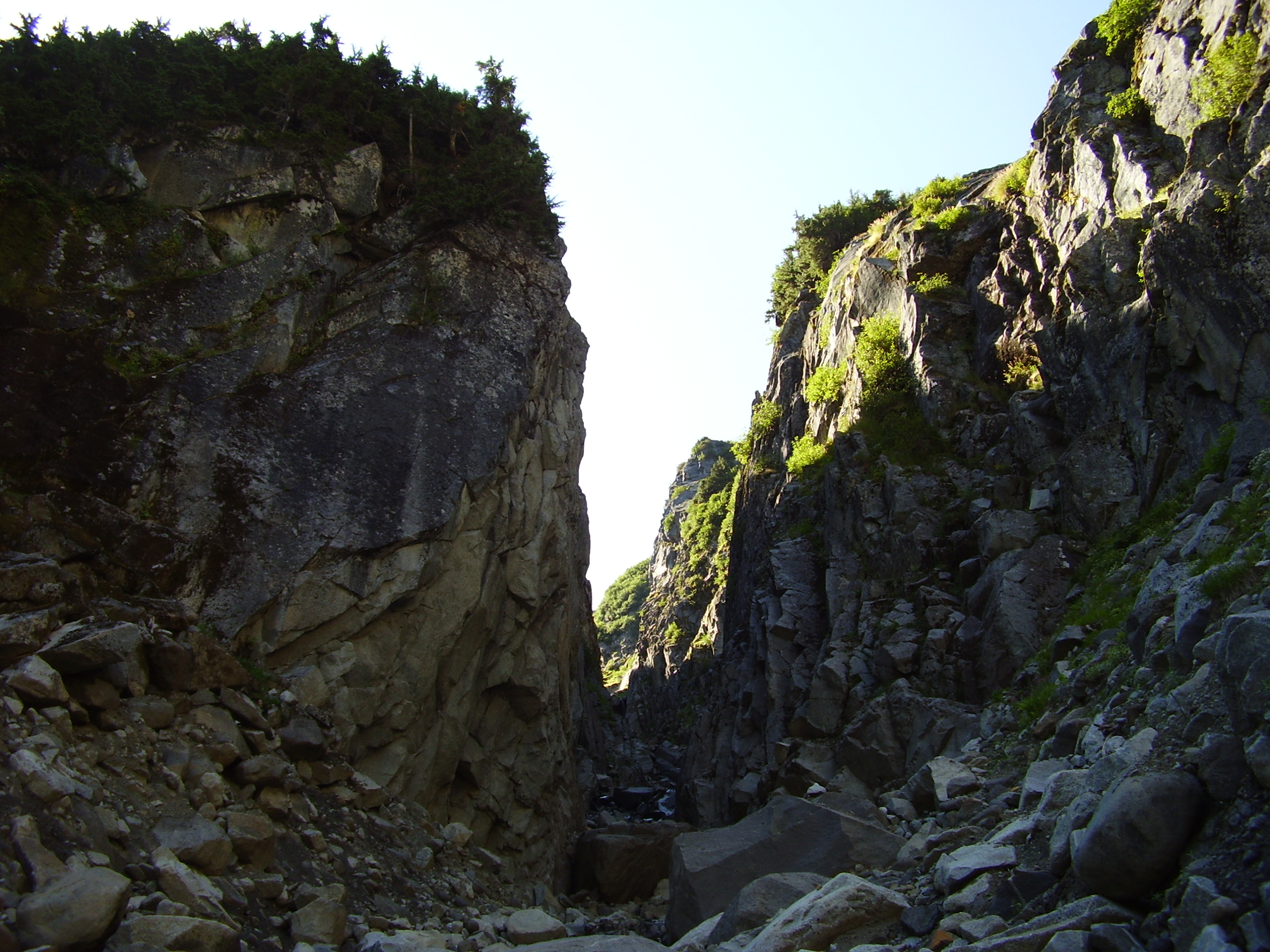
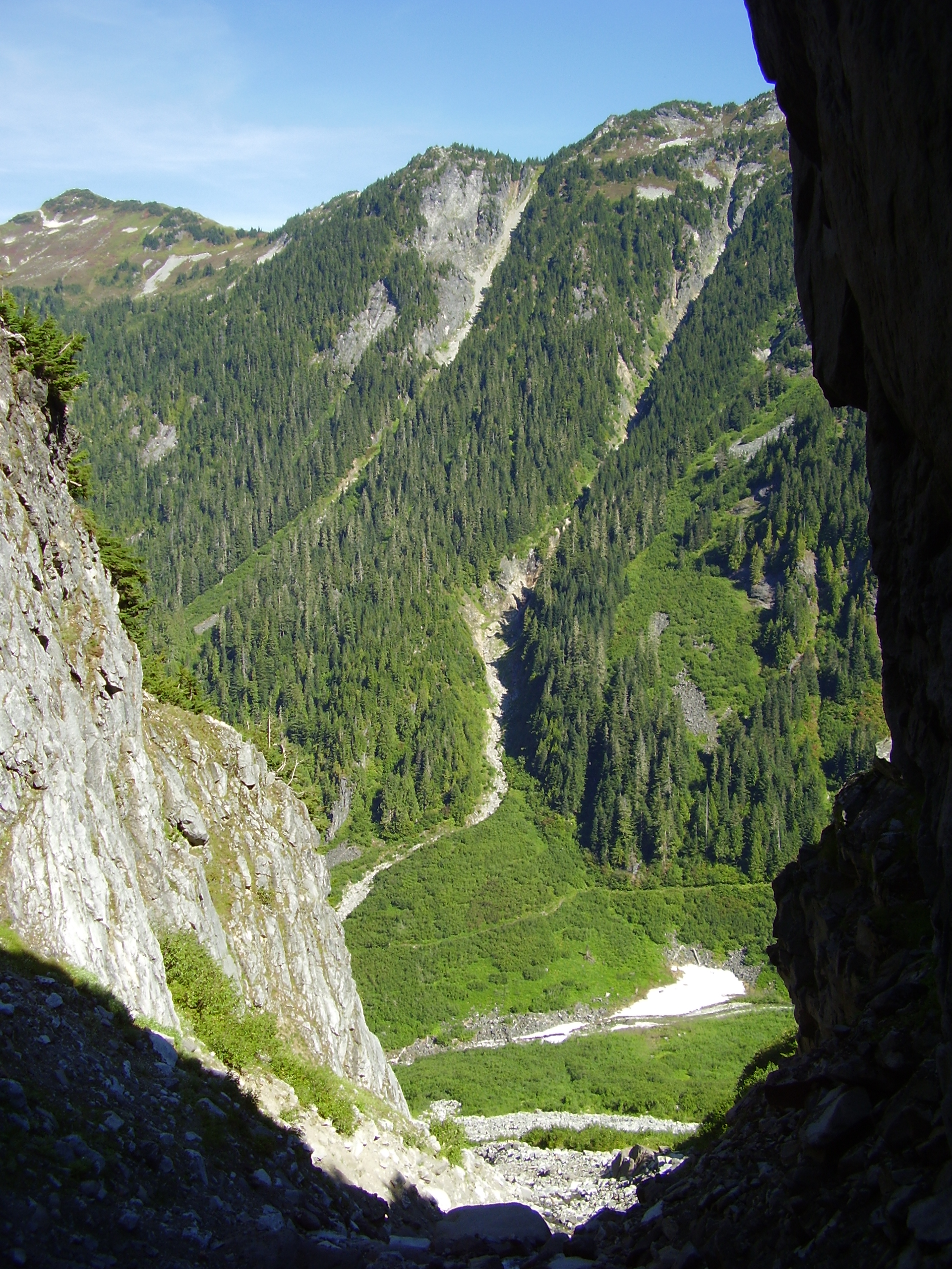
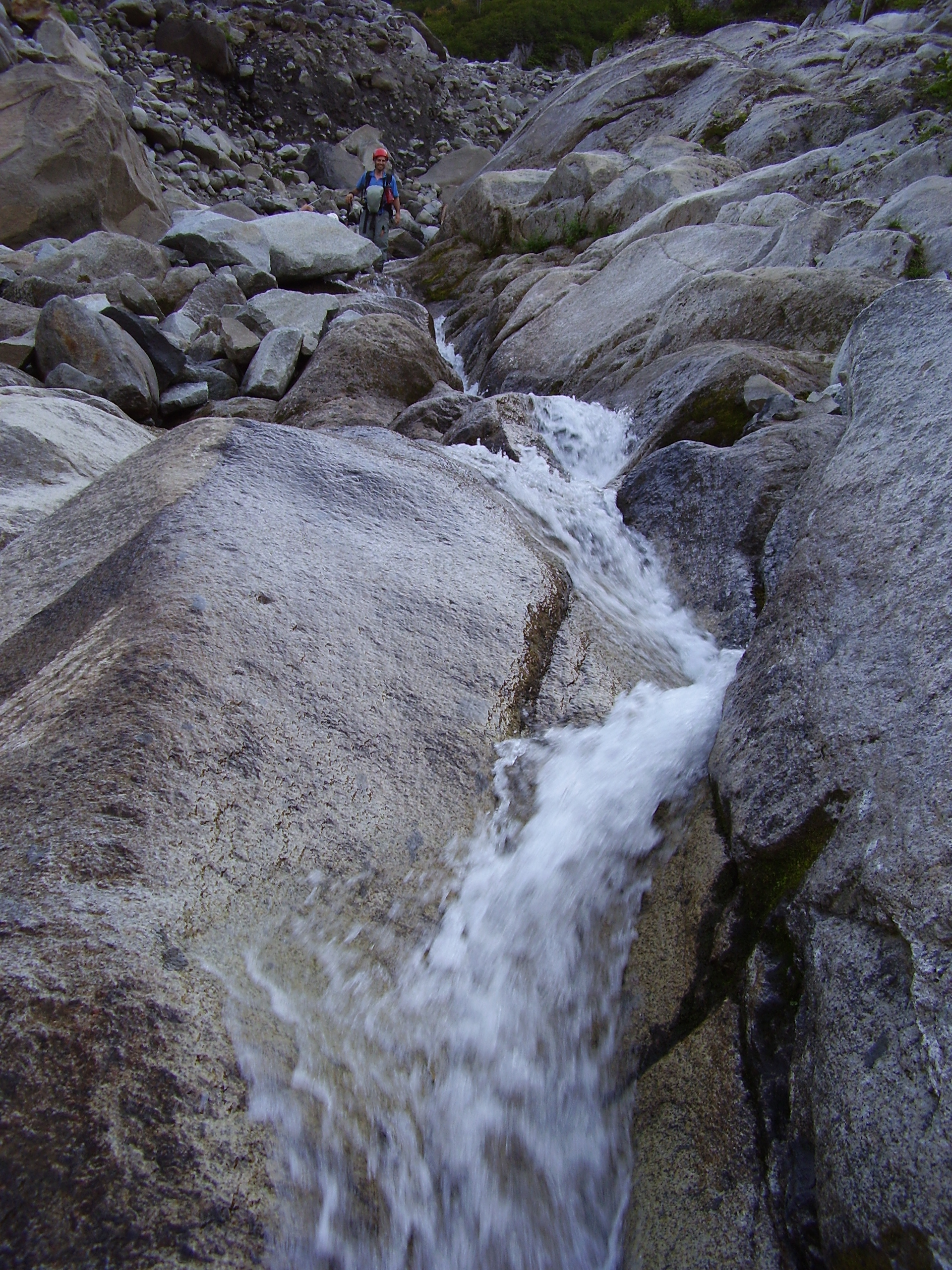
our first look at the slot canyon. Hmmm. Do you think there's a way up the mountain through there?
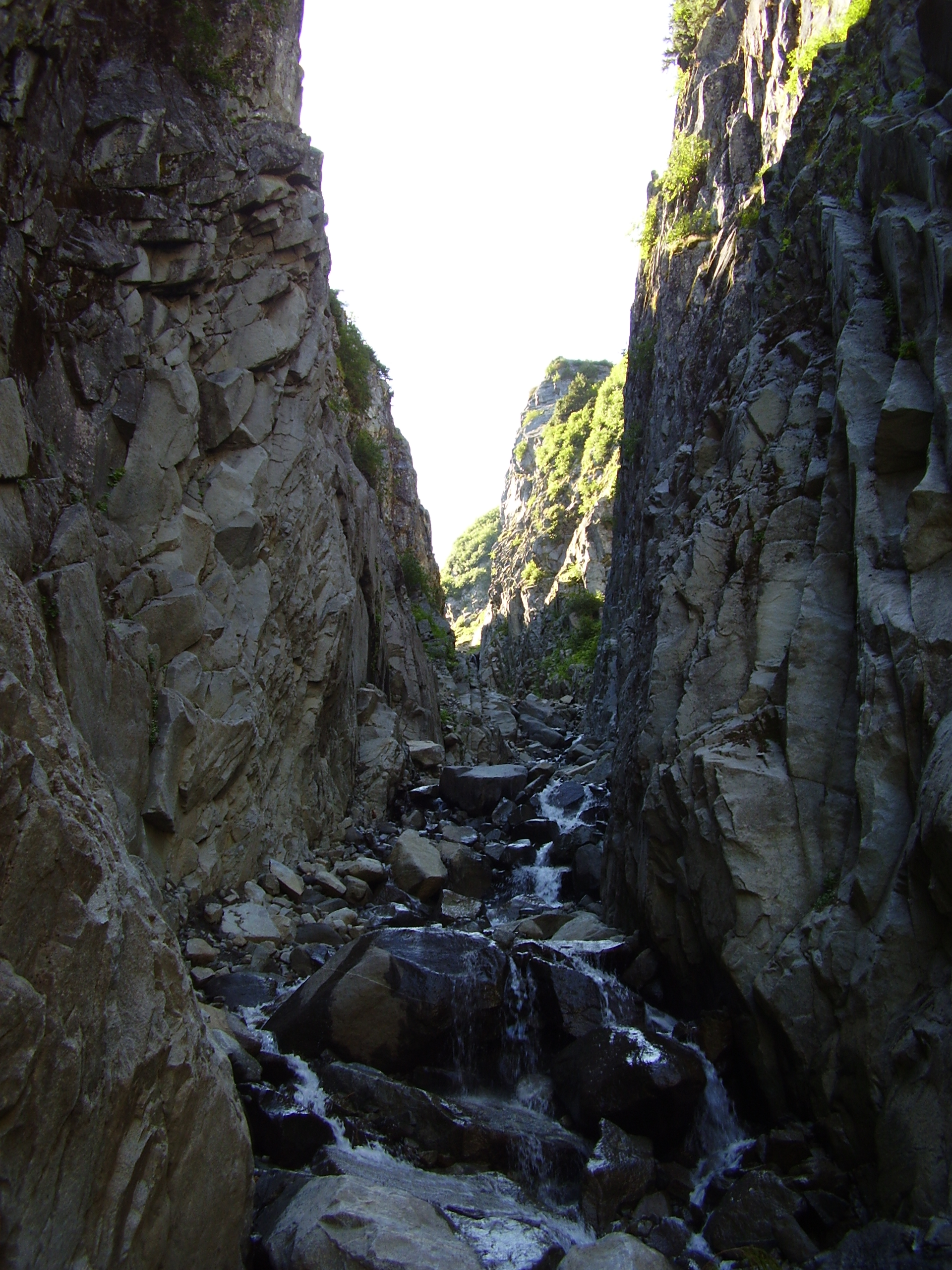
We entered the narrow canyon, following a stream and moving quickly.
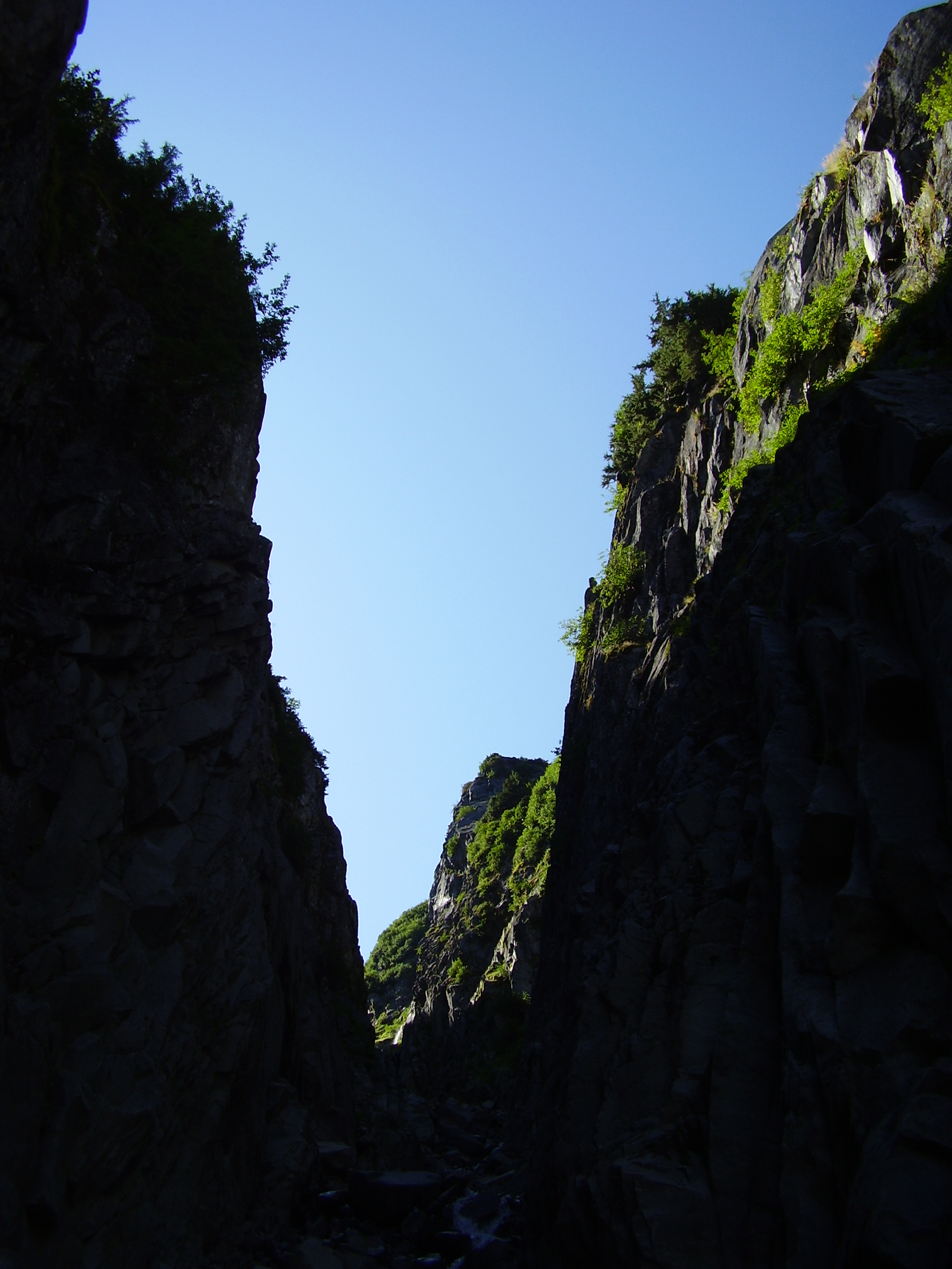
Turning back, we could see Ruth Creek Valley below.
After climbing up two small waterfalls, our progress was halted by an third, and impassable, waterfall.
At this point, we had two choices: turn back or scale the canyon wall.
Fortunately, we had a rope with us. Unfortunately, we were too busy climbing to take pictures.
We climbed up a narrow ledge on the canyon wall to our left, and made it back out into the sun.
We had passed Sefrit's first major obstacle, the band of cliffs along its base. At this point, however, we had to begin finding an alternate route down with our remaining daylight.
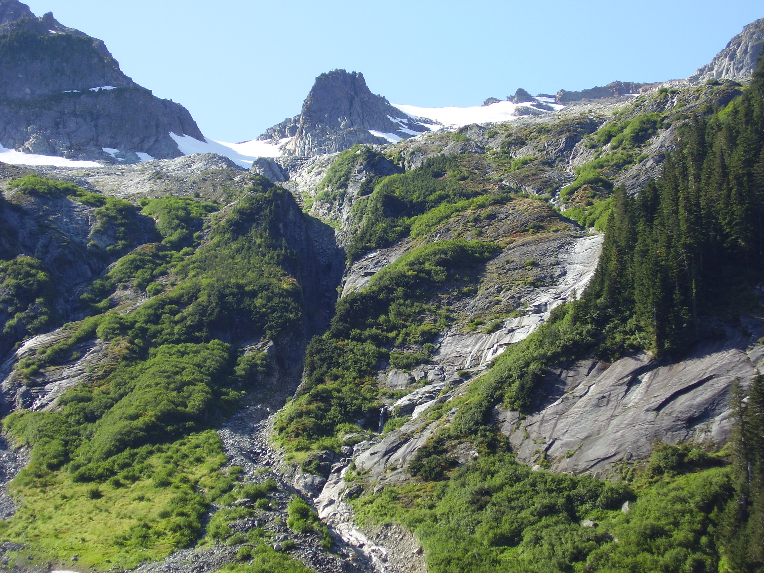
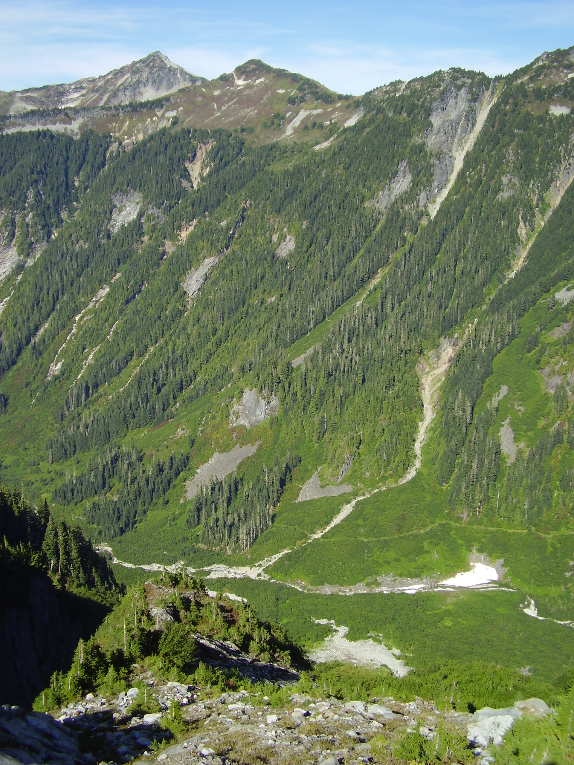
Before heading down, we scoped out the remaining climb.
The rest of the route consists of a snow filled basin, a jagged arete, and a small pointy summit block.
The route down was a little treacherous.
We bushwacked down steep wet slabs of rock and stands of slide alder before getting back to our bouldery chute.

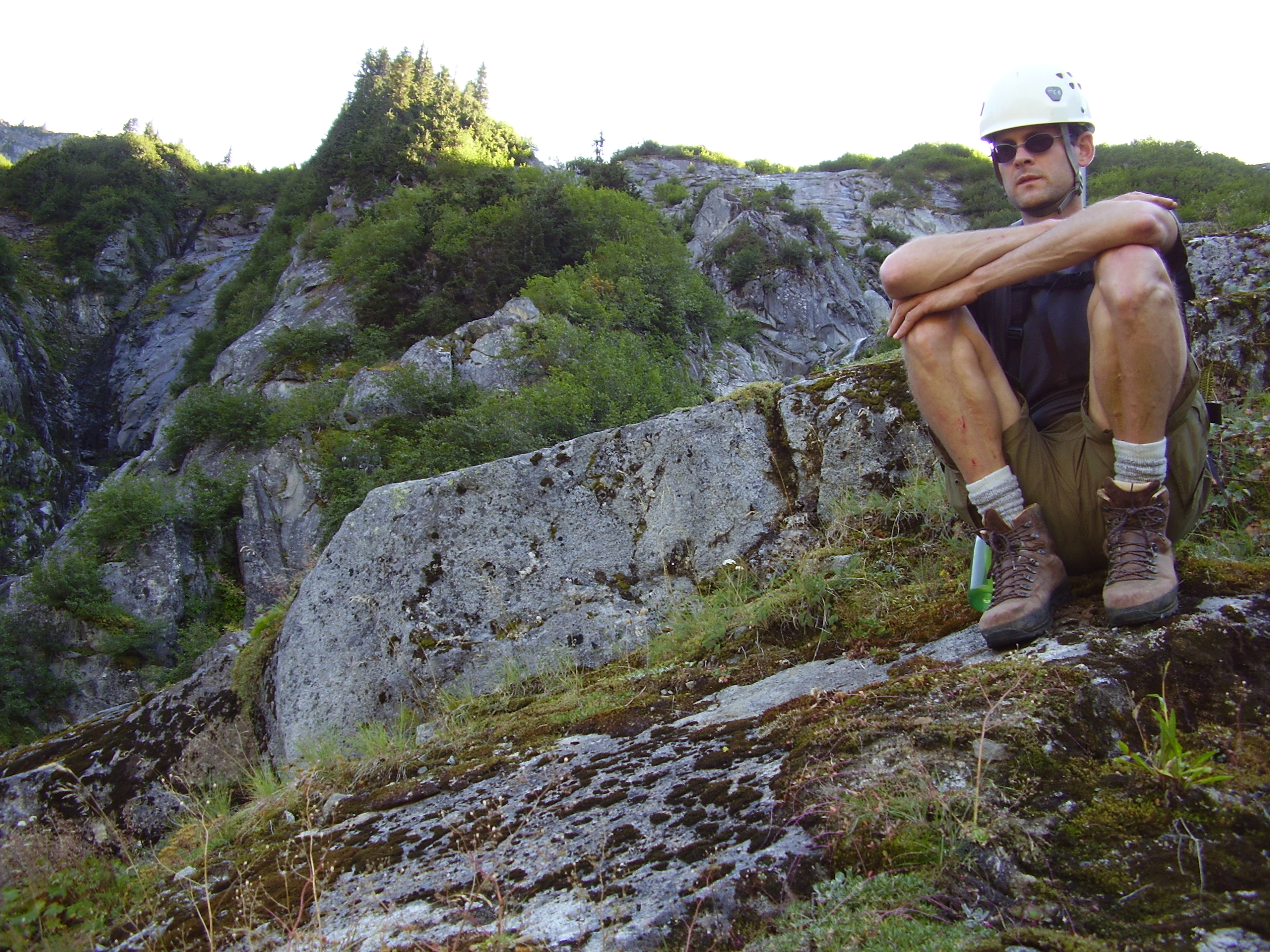
Yours truly
The chute is full of unstable boulders that shift when stepped on.
It was safest to walk down the clean and scoured portion of the channel where the stream was flowing.
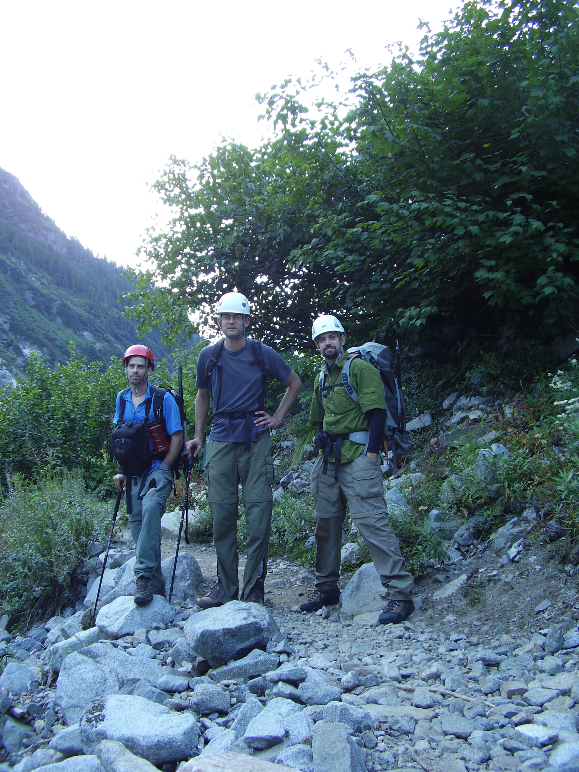
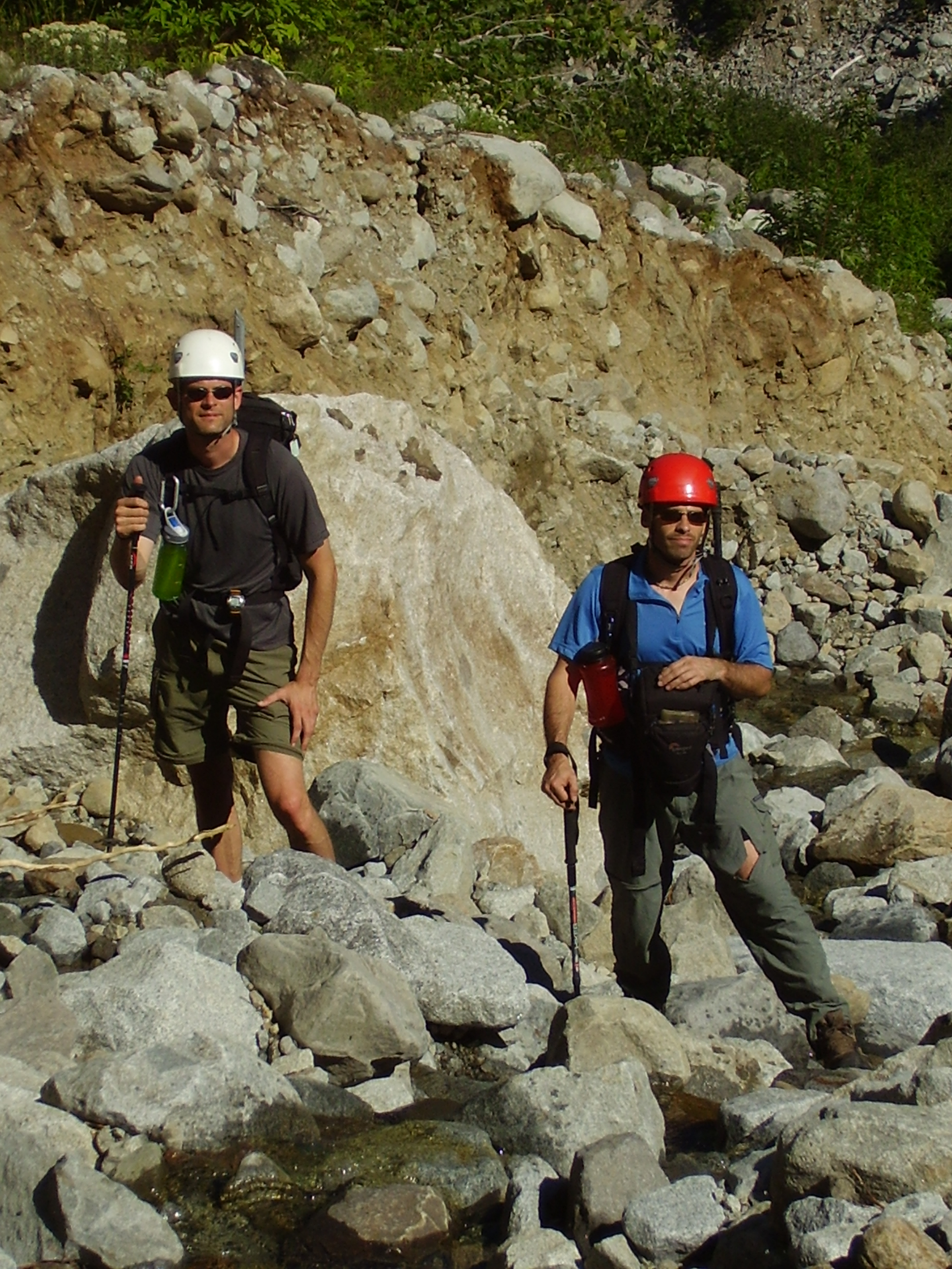
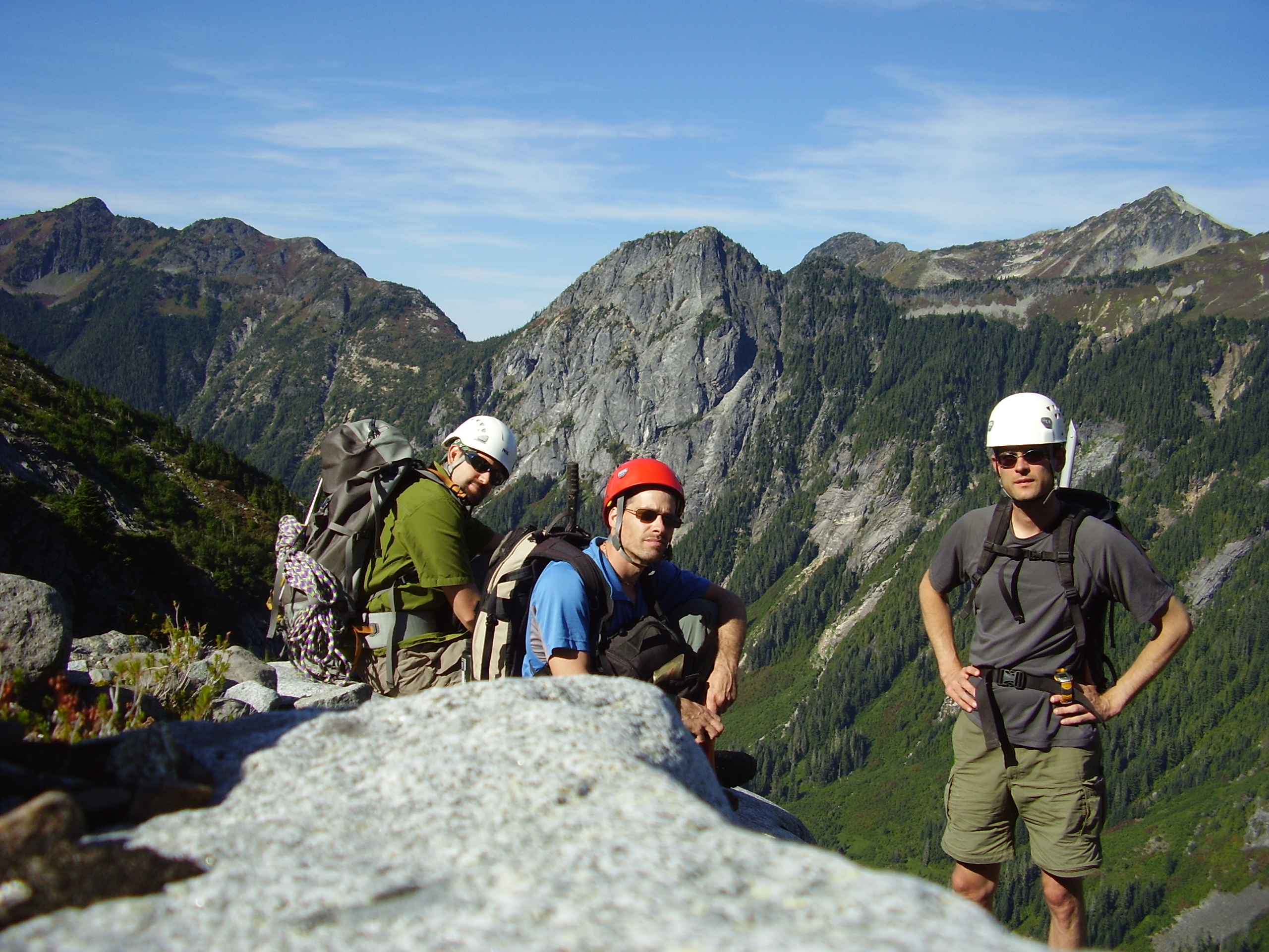
Group shot back at the trail.